They Built the Entire Bridge. Then Someone Checked the Map.
There is a specific kind of horror that comes from finishing something — really finishing it, stepping back, dusting off your hands — and then realizing the whole thing is wrong. Not a little wrong. Not wrong in a way that a few adjustments might fix. Completely, structurally, geographically wrong.
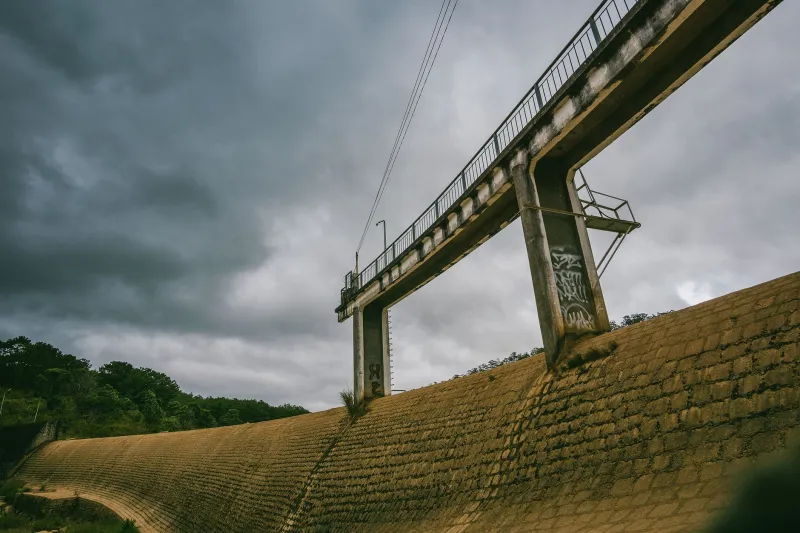
In the 1960s, a construction crew somewhere in the American heartland experienced exactly this feeling. They had built a bridge. A real bridge, with steel and concrete and proper load-bearing everything. The project had come in on time. The work was solid. There was just one problem: they had built it in entirely the wrong place.
Not on the wrong side of the river. Not at the wrong angle. Miles away from where it was supposed to go.
How Does This Even Happen
The short answer is: committees. The longer answer involves a chain of communication failures so perfectly stacked that if you described it as fiction, someone would tell you it wasn't believable.
The project was a mid-sized bridge intended to serve a rural county that had been lobbying the state for improved road infrastructure for years. Funding was approved, contracts were awarded, and blueprints were distributed to the relevant parties — the engineering firm, the construction contractor, and the county office responsible for coordinating the site work. Three separate entities, each receiving their own copy of the project documentation.
The problem was that the blueprints contained two reference points. One indicated the proposed site for the bridge. The other — included for contextual purposes, to show the relationship of the new structure to existing infrastructure — marked a different location entirely. A location that, as it happened, was also near a waterway. Also near a road. Also plausible, if you were a construction crew working from a set of plans and nobody had explicitly told you which of the two marks was the one you were supposed to be standing on.
The contractor read the wrong mark. Nobody caught it during pre-construction review. Nobody caught it during the initial site survey. Nobody caught it when the crew showed up and started breaking ground.
Six Months of Confident, Incorrect Progress
Construction proceeded for approximately six months. Progress reports were filed. Site inspections were conducted — though later review of those records suggests the inspectors were checking the quality of the work rather than confirming the GPS coordinates of where the work was happening. Invoices were paid. The project moved through its phases with the kind of steady, unremarkable competence that makes infrastructure boring in the best possible way.
The crew, for their part, had no reason to doubt themselves. The site made sense. There was a waterway. There was a road on either bank. The terrain matched what they expected from the plans, at least in the ways they thought to check. When you're focused on pouring concrete correctly, you are not necessarily running independent verification of whether the concrete is being poured in Iowa or the next county over.
The error surfaced during a routine coordination meeting between the state transportation office and the county, when someone pulled up a map to discuss the final approach road construction and noticed that the bridge marked as nearly complete was not where the bridge was supposed to be. There was a period of confused cross-referencing. Then phone calls. Then, presumably, a very long silence on several ends of several phone lines.
The Aftermath: Expensive, Awkward, and Surprisingly Complicated
What followed was a bureaucratic reckoning that took longer to sort out than the construction itself. The immediate question — can we move it? — was answered quickly and unhappily. A completed bridge is not a piece of furniture. You cannot slide it across a map. The structure that had been built was, structurally speaking, exactly what had been ordered. It just wasn't where anyone needed it.
The state faced a decision with no good options. Demolishing the bridge and starting over would cost roughly as much as building it had in the first place, plus demolition expenses. Leaving it in place meant paying for a bridge that served no road and connected nothing to nothing. Building the correct bridge at the correct location meant the full project cost was effectively doubled, with one completed structure sitting unused in a field as a monument to the meeting nobody had.
Investigations were opened. Contracts were scrutinized. The question of who bore financial liability for the error produced arguments that wound through state administrative channels for years. The engineering firm pointed to the ambiguous blueprint. The contractor pointed to the lack of site confirmation from the county. The county pointed to the state's inspection process. Everyone, it turned out, had a reasonable-sounding explanation for why the mistake was technically someone else's fault.
The Bridge That Stayed
Here is the part that elevates this story from expensive embarrassment to genuine legend: the misplaced bridge was never demolished. The cost of tearing it down was deemed harder to justify than simply leaving it standing, particularly once local residents began using the structure — informally, then officially — to cross the waterway it happened to span. A road was eventually connected to it. Not the road it was supposed to serve, but a road. The bridge became, through a combination of sunk-cost logic and pragmatic shrugging, a piece of functioning infrastructure.
The correct bridge was eventually built at the correct location, years behind schedule and significantly over the original budget. Both bridges still stand.
What It Actually Takes to Build Something in the Wrong Place
The most remarkable thing about this story is not that the mistake happened. Miscommunications happen. Blueprint errors happen. What's remarkable is the number of checkpoints the error passed through without triggering an alarm. Pre-construction review. Site surveys. Regular inspections. Six months of active construction with regular oversight contact between the contractor and the state.
Every one of those moments was an opportunity for someone to look at a map and ask a simple question. Nobody did.
The bridge that shouldn't exist is still out there, carrying traffic across a waterway it was never meant to cross, in a location nobody planned for. If you drive over it without knowing the story, it looks completely normal. Solid. Purposeful. The kind of thing that seems like it was always supposed to be exactly where it is.
Which, in the end, is either a testament to human adaptability or a very expensive argument for reading the blueprints before you pick up a shovel.